|
|
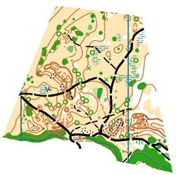
Map and Terrain
| Day 0 - Friday, 12-02, Model Event |
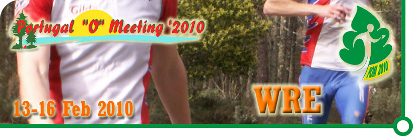
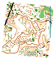
| Model Event 1: South of Quiaios |
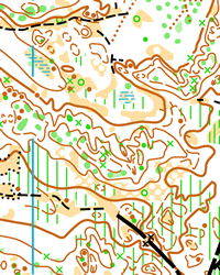
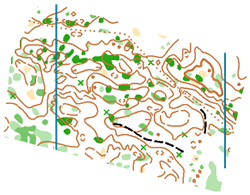
| Map |
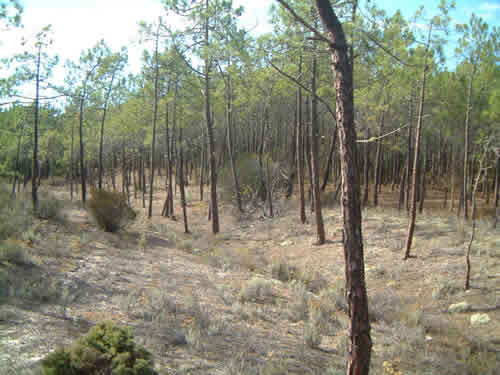
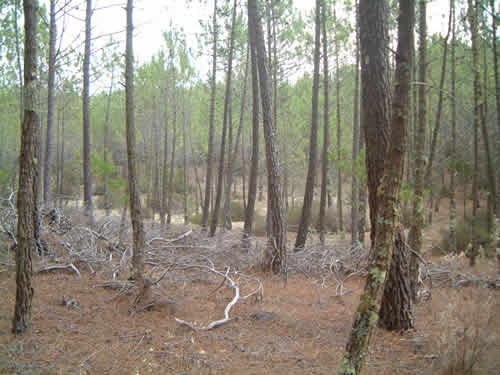
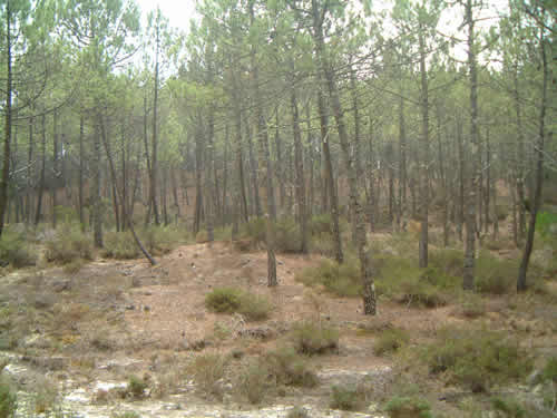
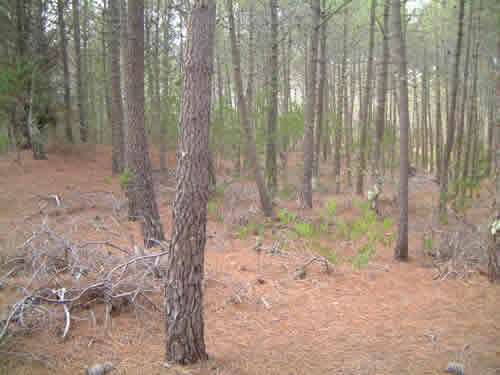
| Pine forest with some higher grass or shrubbery growth, mostly in the south-east area, alternating between more irregular contour with navigational challenge and medium, less defined, and more regular contour.
Similar to Stages 2, 3 and 4
|
 |
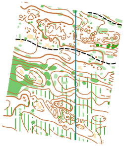
| Model Event 2: S. Pedro da Gala |
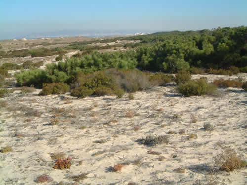
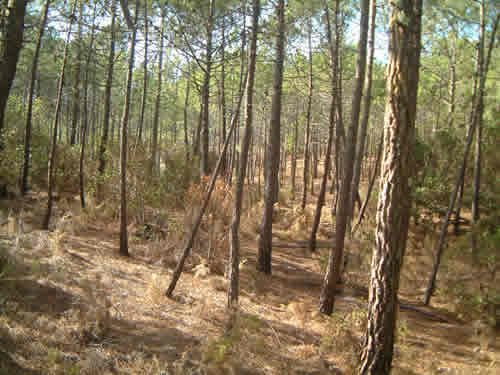
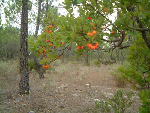
| Pine forest terrain with some patches of different trees, with reduced higher grass of shrubbery growth. Presents, on the west side, one open and one semi-open areas with good visibility. Typical pathways (sandways).
Similar to Stage 1.
|
 |
|
| Day 1 Saturday, 13-02, Praia da Leirosa |
| Long Distance |
| Map |
| Pine forest terrain with some patches of different trees, with reduced higher grass of shrubbery growth. Presents, some open and one semi-open areas with good visibility. Typical pathways (sandways).
|
 |
 |
 |
 |
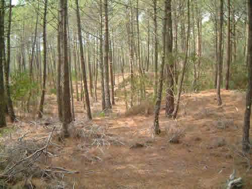
| Terrain |
 |
 |
 |
 |
|
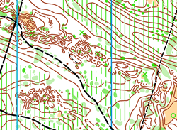
| Night Sprint, Costa de Lavos |
| Map |
| Urban area of fishermens village of Costa de Lavos. Typical irregular and unpredictable grid of streets and alleys, of which courses will produce challenging situations.
|
 |
|
|
|
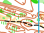
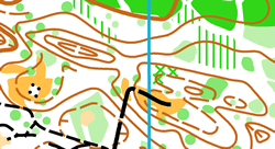
| Day 2 Sunday, 14-02, Lagoa das Braças, Quiaios |
| Middle Distance - WRE |
| Map |
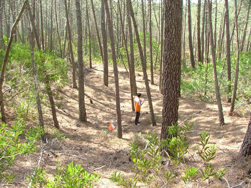
| Small-grown pine forest terrain with some patches of different trees and shrubbery, with reduced higher grass growth. Presents micro-contour areas, requiring greater navigation skills
|
 |
 |
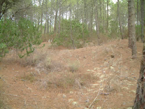
| Terrain |
 |
 |
 |
 |
|
|
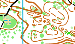
| Day 3 Monday, 15-02, Quiaios |
| Long Distance |
| Map |
| Pine forest terrain with reduced higher grass of shrubbery growth. Presents both micro-contour as well as medium contour areas, with good runnability but low visibility. Patterned pathways; altitude between marks 21 and 60.
|
 |
 |
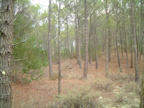
| Terrain |
 |
 |
 |
|
|
| Day 4 Tuesday, 16-02, Lagoa da Vela, Quiaios |
| Middle Distance |
| Map |
| Pine forest terrain with reduced higher grass of shrubbery growth, with good runnability. Typical pathways (sandways). Presents micro-contour areas, requiring greater navigation skills.
|
 |
 |
| Terrain |
 |
 |
|
|
|